Welcome to the Salt Spring Saturday Market !
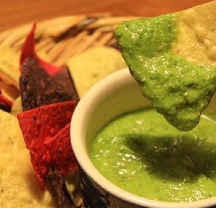
Fresh local produce, freshly baked goods & internationally acclaimed arts and crafts, including world class potters, jewellers, fibre artists, woodworkers, fine art & photography, body care, clothing & more.
Find us at Centennial Park in Ganges.
This year, the market starts on Saturday April 4th
and runs every Saturday until October 31st, 2026.
9am - 3pm (4pm in the summer).
Shop local,
Make a difference.
2026 Season
Dogs at the Market: As dogs are not allowed in the market or in the park (due to the local CRD bylaw no.3795) Doggy Daycare will be offered from 9 May to Labour Day weekend.

Winter Market in the Park
Join us every Saturday starting
Saturday, 4 April 2026
10am-3pm
Centennial Park
Ganges, Salt Spring Island, BC

Join us for the last market of the fall season
Get your final market fix and start your Christmas shopping early with unique, handcrafted gifts and local products. Don't miss out on supporting local vendors before the season ends.
Shop local, Make a difference.
Find us at Centennial Park in Ganges.
26 October 2024.
9am - 3pm-ish.
Island Health (VIHA)
will be presenting
an online info session for all
Food & Drink Vendors
Contact coordinator@saltspringmarket.com
for more details.
Tuesday, 24 Feburary 2026, 10am-12pm
Our vendors are what make our markets so special. From farm fresh produce to amazing artisan hand made goods. Treat yourself, or find that extra special gift!
Meet the Vendors


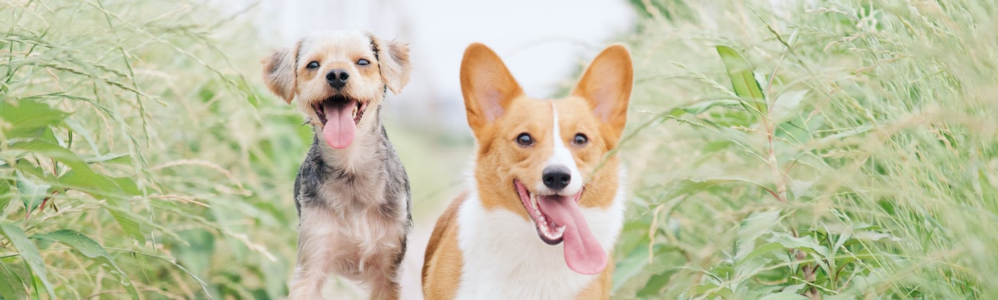

Doggy Daycare
Doggy Daycare is back for 2026!
As the local CRD bylaw no.3795 does not allow dogs in the market or in the park, BCSPCA will be providing doggie daycare service for people attending the Saturday Market.
Doggy Daycare will be available on Saturdays from 9 May to 5 September 2026.
Hours are 9am to 3pm (last dog taken at 2pm).
BCSPCA will provide 1:1 dog sitting with its staff and volunteers.
Cost is $20 for one hour and is a direct donation to the BCSPCA. Limit of one hour per dog.
You can find Doggy Daycare at the fenced area of Centennial Park near the Grace Point/marina end of the market (by the public washrooms).
For more information please call 250-537-2123 or email saltspring@spca.bc.ca
Centennial Park
GANGES
Every Saturday from
April 4th, 2026
to
October 31st, 2026
9am - 3pm
9am - 4pm
in the summer
Find Us At
What Visitors Say
CHRISTOPHER DILLABOUGH
“Amazing little market . Lots of vendors and many different items and services available. Something for everyone. Will not leave disappointed. Close to the waterfront and many other shops close by as well. Definitely worth the drive over for the day to experience some of the islands finest made items. Whether it's crystals or pottery necklaces, clothing, food, psychics or tarot. Wellbeing coaches. You name it and I'm sure this Market will have it for you. Will not disappoint. This place is always busy during the day and the vendors are all super nice and helpful. Will definitely be returning."
AARON PETERS
"One of my favourite summer markets in BC - farmers, artists, goldsmiths, and other vendors that only exist at this market. Try biking out for the day to check it out."
Reviews from our Google page
LAURA ELWORTHY
"Always a wonderful time fresh fruits, vegetables. Locally made treats, artists selling their wares. It's a one of a kind experience."
KEVIN HARDING
“It's nice to be back at the market. Tons of artisans and farm fresh produce with little Saltspring gems here and there that highlight the uniqueness of the island. Always worth the trip.“
MOSTAFA ESMAEILI
"I love the vibe and all the great vendors with locally made food, wine, jams, spreads, crafts, etc. A must see if you're visiting Salt Spring Island on a Saturday."
The Salt Spring Island Saturday Market Society (SSISMS) is happy to announce that the Salt Spring Saturday Market will be managed by SSISMS, effective January 1, 2024.
This commences an exciting new chapter where the Saturday Market is a community led initiative, steered by a committed group of community members. The nine-member board of directors consists of Salt Spring residents with strong backgrounds in diverse areas who are keen to support this project.
SSISMS looks forward to the opening of the market season and to seeing you at the first market of the year on Easter weekend, Saturday March 30. The market philosophies of ‘Make It, Bake It, Grow It’ as well as ‘Vendor Produced and Sold’ will remain the same. The regular market season will also remain the same as previous years - operating through to the end of October and with at least two December markets around the holiday season.
SSISMS is seeking a Market Coordinator for the 2024 season. Please look for details in the Gulf Islands Driftwood, the Salt Spring Exchange and at saltspringmarket.com to apply for this position. Vendor registration will open online, beginning in February (date TBD).
Thank you to everyone in the community for supporting the Salt Spring Island Saturday Market Society’s successful application to the CRD. We look forward to the years to come and continuing to make the Saturday Market a successful contributor to our local island economy.
All EXISTING and NEW market vendors must register their contact information at here to receive all market news including this year’s Saturday Market Vendor Registration Form.
Salt Spring Island Saturday Market Society
Board of Directors
www.saltspringmarket.com
hello@saltspringmarket.com